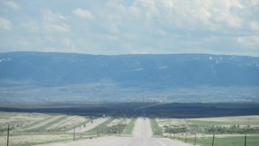
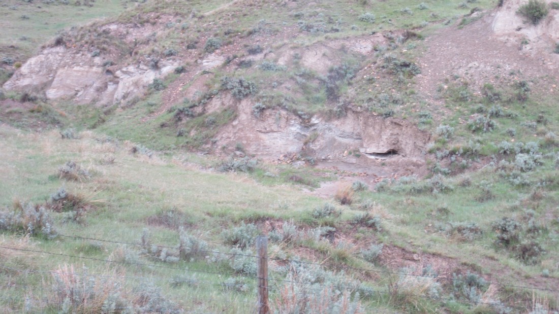
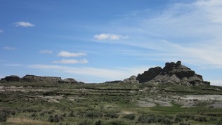
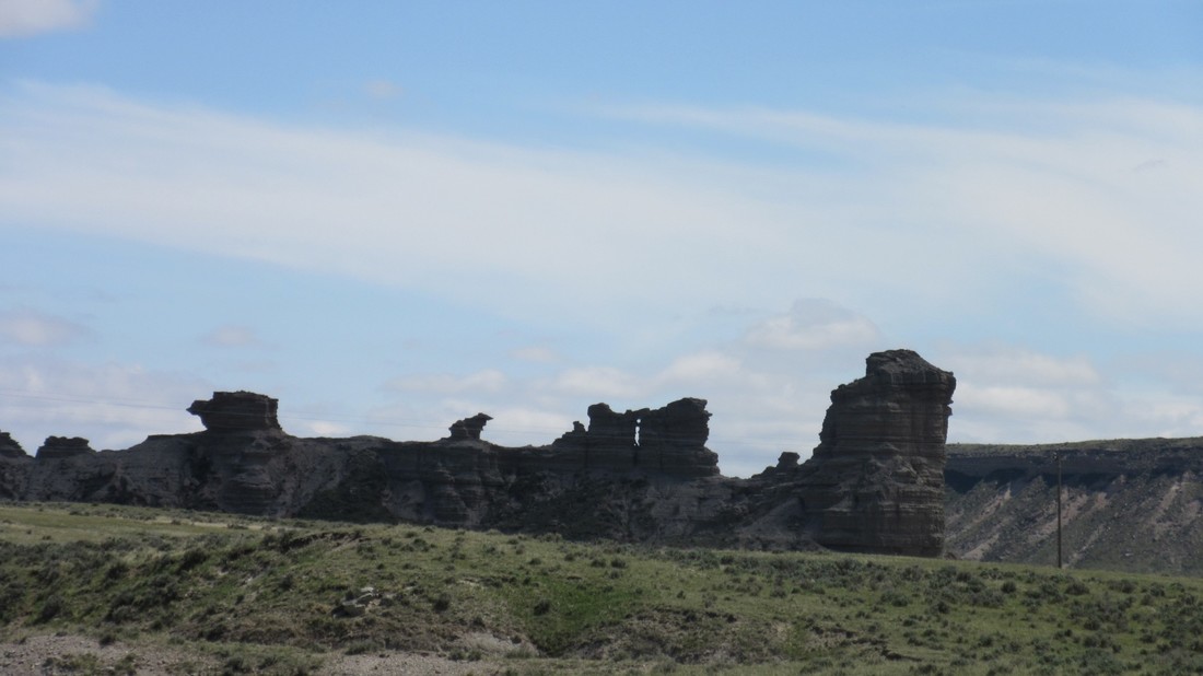
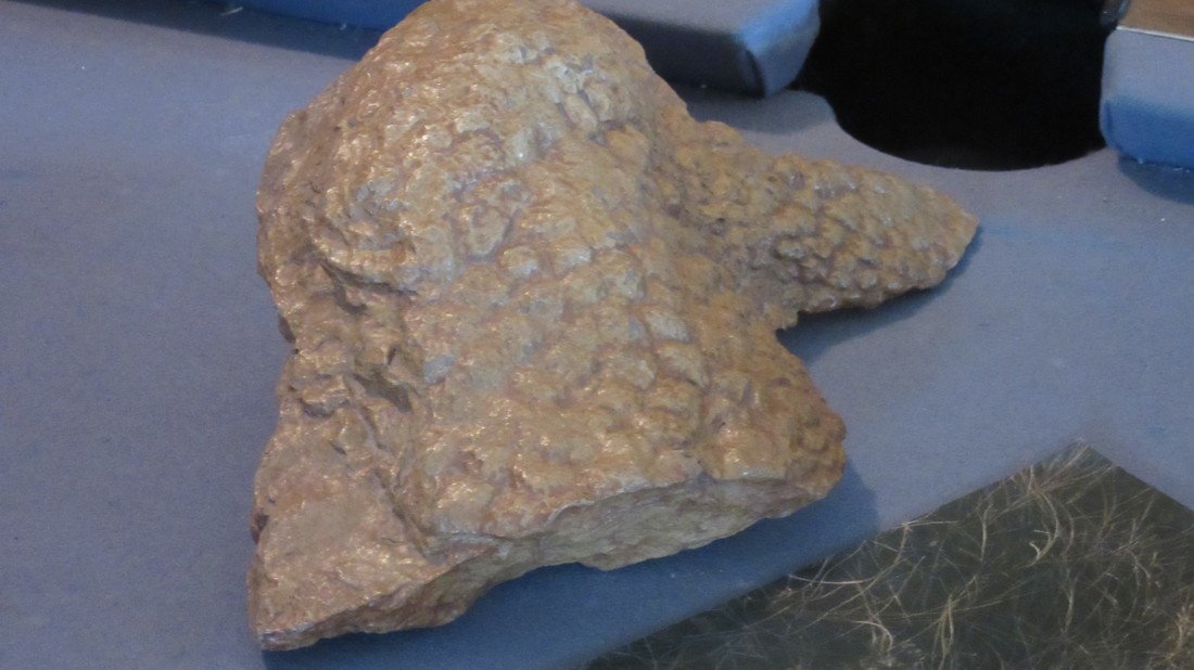
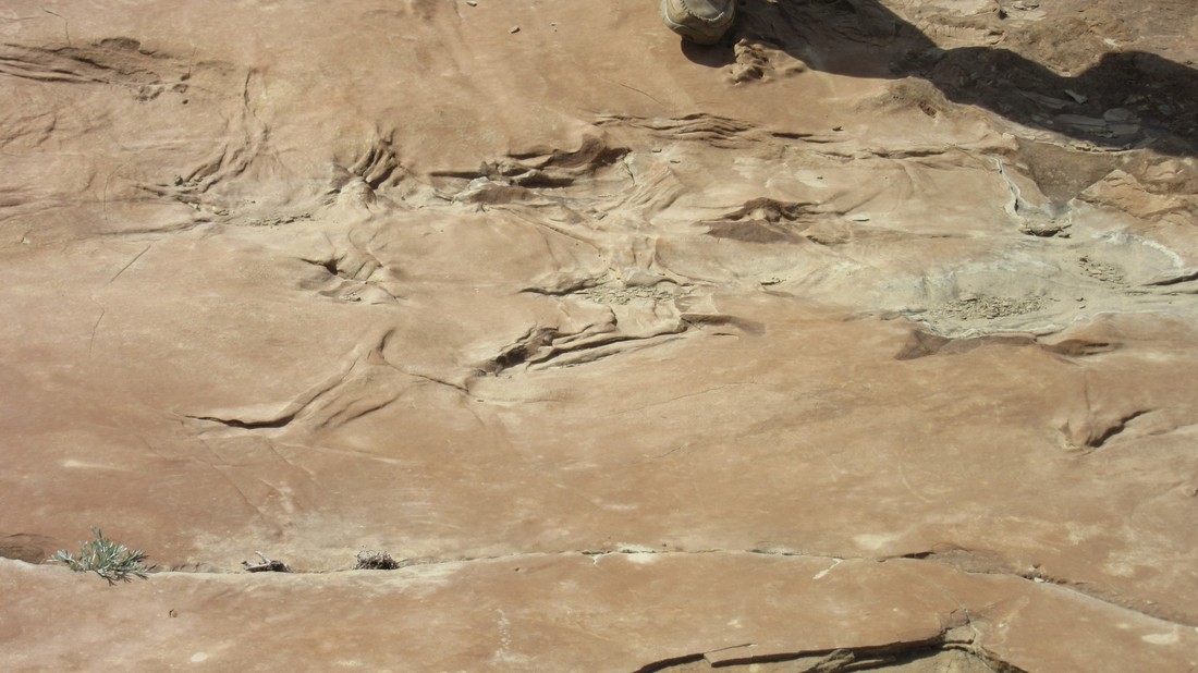
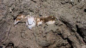
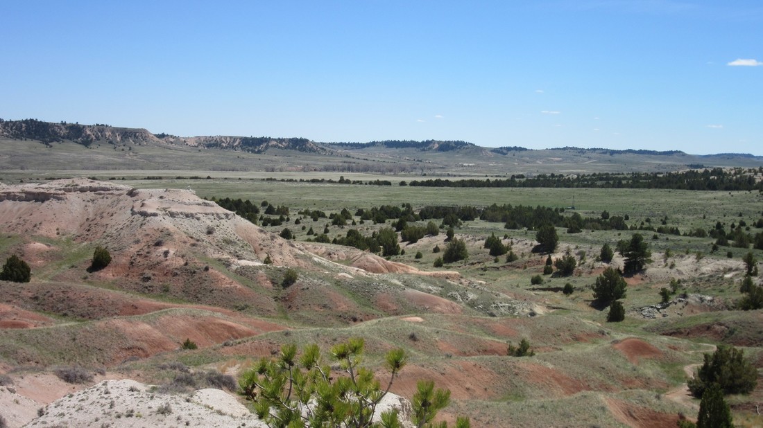
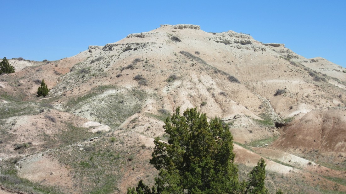
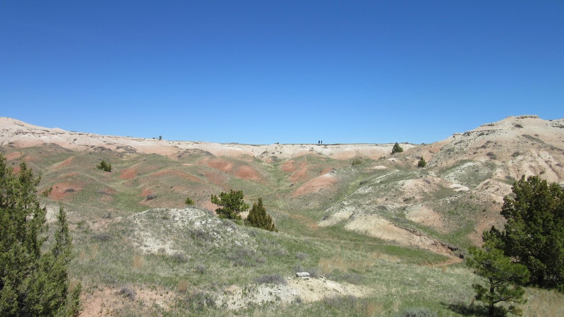
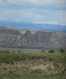
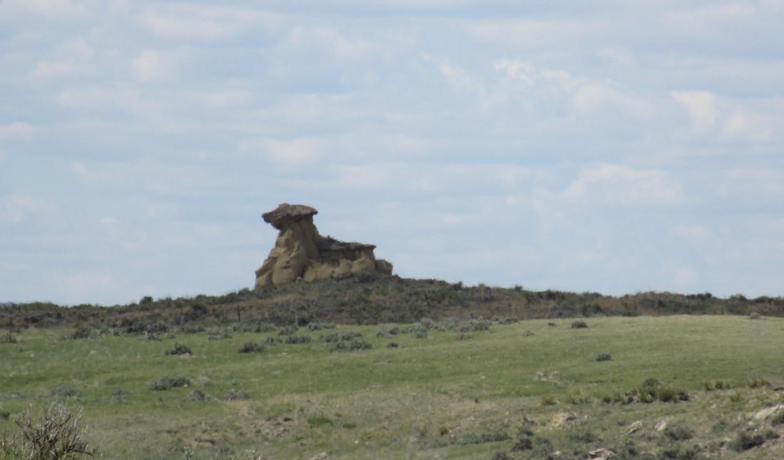
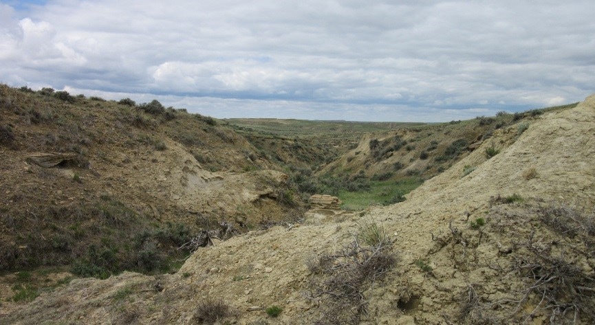
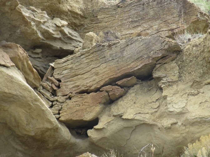
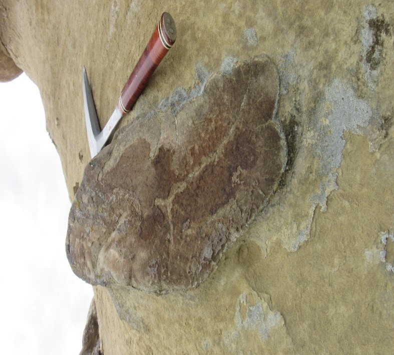
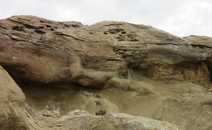
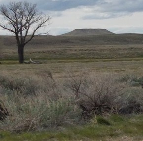
May 9, 2017 Today again we went looking for the K/T boundary on the western edge of the Powder River Basin, west of Lusk Wyoming, past Casper Wyoming. First stop we went to, we believe is the K/T boundary, we took some samples of the layer to analyze with the XRF. A little down the road is the second place where the K/T boundary may be exposed and around seven miles from there is the third place where the K/T boundary can be exposed. Tomorrow we are going back to analyzes more samples with the XRF and use the core drill to get samples deeper down in other areas where the boundary layer may be buried.
1 Comment
May 8, 2017 Today we went looking for the K/T boundary. There were a lot of promising places to explore. To find the location where the K/T boundary could be exposed, we compared the geological map of Wyoming and the Niobrara County road map, to estimate outcrop locations. We looked around T33-40 N on R66 and 65W, around Lance Creek to find the K/T boundary. On Twenty Mile Road #23, we took some samples to analyze for presence of Iridium. We then started traveling North to see if there was an outcrop of the K/T boundary. May 7, 2017 Today we went to the Paleo Ranch and to Bone Man's dig site. First at the paleo ranch we looked at the track way with both predators and prey dinosaurs, a Triceratops, two T-rex, birds, crocodile, and algae, imbedded into the track way. Then we went to a site where they found 2 mummies, a Hadrosaurus, and a Stegosaurus. The owner of the Paleo Ranch told us to explore so that is what I did. I went and hiked up 3 hill sides and walked through the valley in between them, I found some bones, Iron concretions, sandstone, and shale. After the Paleo Ranch we went to Bone Man's dig site, where we found more bones and the bones that Bone Man was extracting out of the dig site, I used the XRF analyzer to see the composition of the bones. Today we went to 2 different sites on one ranch that was thousands of acres in extent. The first site was to find Cretaceous Pierre Shale ammonites. The second site was to find land mammal bones in the Eocene White River Formation. I climbed to the top and worked my way down through the layers. I climbed up four mountain sides trying to find bones, but everything had washed down the mountain. When I started walking back, I found a grayish color layer at the bottom of the first mountain I climbed, JP and I found some fossilized turtle shells. I went around on the same level as the turtle shell and I found a titanothere molar! We were able to observe on that one ranch that the whole world had changed dramatically! We found dinosaur bones in the terrestrial Cretaceous Lance Formation on the first day. Then we saw a marine section of Cretaceous strata with marine ammonites in it at the first site on this ranch the second day. And then we could see that the world changed entirely when the meteorite impact catastrophically wiped out the dinosaurs. So that in the terrestrial layers laid down in the Tertiary all that dinosaurs were gone but the mammals now ruled! Some of them became very large, like the Titanothere. The K-T Boundary was the end of the dinosaurs but the beginning for the mammals and the boundary between the Mesozoic and Cenozoic Eras. Today we went exploring on the Cross A ranch 7,680 acres near the edge of the Powder River Basin. The rocks exposed near in the Powder River Basin are from the Cretaceous Period. First stop, there were some exposed dinosaur bones remaining from the previous dig by JP Cavigelli and his crew from the Tate Museum at Casper College in Wyoming. We dug a little less than a foot and found a toe bone from a hadrosaur, a small gar fish scale, and a small fossilized piece of a turtle shell. First time I have ever had the opportunity to dig for dinosaur bones and that was possible because of the UC Clermont Undergraduate Research Program. Going down the hill into the valley, you could see weathering and erosion caused by water. Digging through the sand stone we found iron concretions that had formed in the valley. Second stop, we found tendons and plant fossils exposed, as well as iron concretions and sandstone. Trip May 1, 2017, we drove from Cincinnati to Nebraska City, Nebraska. Crossing a large part of the Great plains. I learned that when I was told that the great plains are flat, they meant really, really flat. Unfortunately, a large portion of the area that we crossed was underwater because of flooding in large parts of Missouri and Nebraska. Over the course of the first day I observed a lot of interesting geological features, we traveled through large portions of shales and limestones formed in the Mississippian period near St. Louis as well as a large series of loess cliffs, that while not towering in height were large in extent, paralleling us as we traveled along I-70. May 2 2017, we drove through Nebraska, on Route 26 and then Interstate 80. We observed sand hills that were a byproduct of glaciation throughout a large portion of Nebraska. While composed of sand these dunes are now covered in sparse vegetation and resemble, to me, the rolling hills of Appalachia. I was able to experience places that I have studied in class, learning how they were formed and when. To me personally it is amazing to see up close these areas and know how the landscape was formed and the exactly how the rocks were exposed. The whole time driving through Nebraska I could image living there. It was just so Beautiful. |
Details
JessI am a geology major at the University of Cincinnati, and I want to specialize in Seismology. This trip will exposes me to a new way of learning, with hands on experience and exploring new environments. I will be responsible for logging specimens and equipment on this trip. Categories |