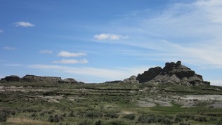
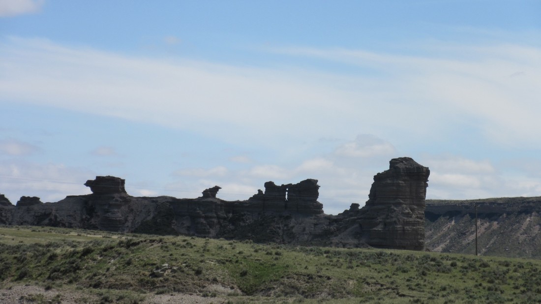
May 8, 2017 Today we went looking for the K/T boundary. There were a lot of promising places to explore. To find the location where the K/T boundary could be exposed, we compared the geological map of Wyoming and the Niobrara County road map, to estimate outcrop locations. We looked around T33-40 N on R66 and 65W, around Lance Creek to find the K/T boundary. On Twenty Mile Road #23, we took some samples to analyze for presence of Iridium. We then started traveling North to see if there was an outcrop of the K/T boundary.
May 8, 2017 Today we went looking for the K/T boundary. There were a lot of promising places to explore. To find the location where the K/T boundary could be exposed, we compared the geological map of Wyoming and the Niobrara County road map, to estimate outcrop locations. We looked around T33-40 N on R66 and 65W, around Lance Creek to find the K/T boundary. On Twenty Mile Road #23, we took some samples to analyze for presence of Iridium. We then started traveling North to see if there was an outcrop of the K/T boundary.
 |  |
0 Comments
 RSS Feed
